Hi All~
This Eletter with
all the links to amazing never-before-seen photos is at this link:
http://www.ciekurzis.org/Devils%20Backbone/Devils%20Backbone.htm
Either cut &
paste this URL into your address bar or just click on it.
Devil’s Backbone!
This eletter
describes our adventures on and around a cluster of islands at the north tip of
Eleuthera Island. Many consider them part of the 100-mile long island; but as
with every other area of The Bahamas, these islands have their own character
and a collective ‘feeling’ that is unique.
In 1648 the first
white permanent settlers came to the Bahamas from Bermuda to escape English
politics. These “Eleutheran Adventurers” were joined during the American Revolt
by English loyalists escaping American politics. I guess this is the place to
come if you hate politics!
The Arawak culture
and the last of the Arawak Indians (the Lucayans) had been decimated decades
before by the maraudering and enslavement orchestrated by the Conquistadors.
The islands were almost uninhabited, but this long, skinny island at the
eastern edge of main part of The Bahamas was well known and somewhat charted.
Unfortunately for the ship of the Eleutheran Adventurers, a massive coral reef
off the north shore was NOT charted, and caused them to wreck there. This reef
is now known as The Devil’s Backbone, and provides passage from Spanish Wells
on St. George Cay over to Dunmore Town on Harbour Island.
The Adventurers
were not put off by the destruction of their ship – heck, they were in Paradise!
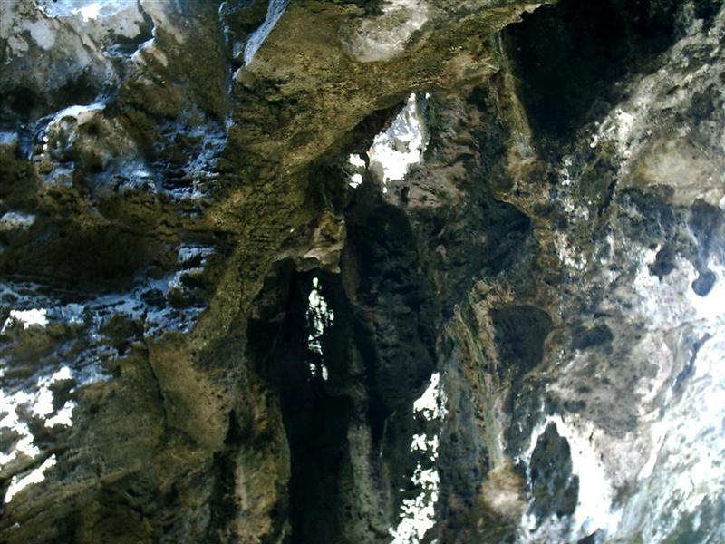
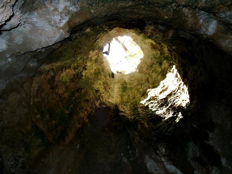
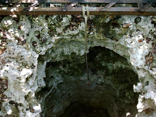
So after a spell in a large cave
on the north coast, they set up the first Bahamian capitol half-way down
Eleuthera at Governor’s Harbour; Many stayed at Spanish Wells and Harbour
Island and their descendants live there yet. Lots of 18th Century
buildings still stand, and the attitudes and personalities are very
old-fashioned by “modern” standards. Physical isolation has retarded the
character of this place from becoming the “I want it now”, wasteful, polluting
society of “civilization”. Hallelujah for the Eleutheran Adventurers!
Spanish Wells is
accessible from another route, but Harbour Island has no other approach for
deep-draft vessels (such as Windigo) except for The Devil’s Backbone. Reports
of its completely attractive nature, along with my enjoyment of navigational
challenges (see Terra Ceia Bay in:
http://www.ciekurzis.org/Circumnavigation%20of%20Tampa%20Bay/Circumnavigation%20of%20Tampa%20Bay.htm),
caused us to embark on the Eleutheran Adventure of transiting the Devil’s
Backbone . . . minus the shipwreck part!
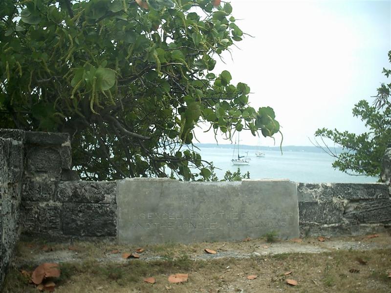
The History of the Land.
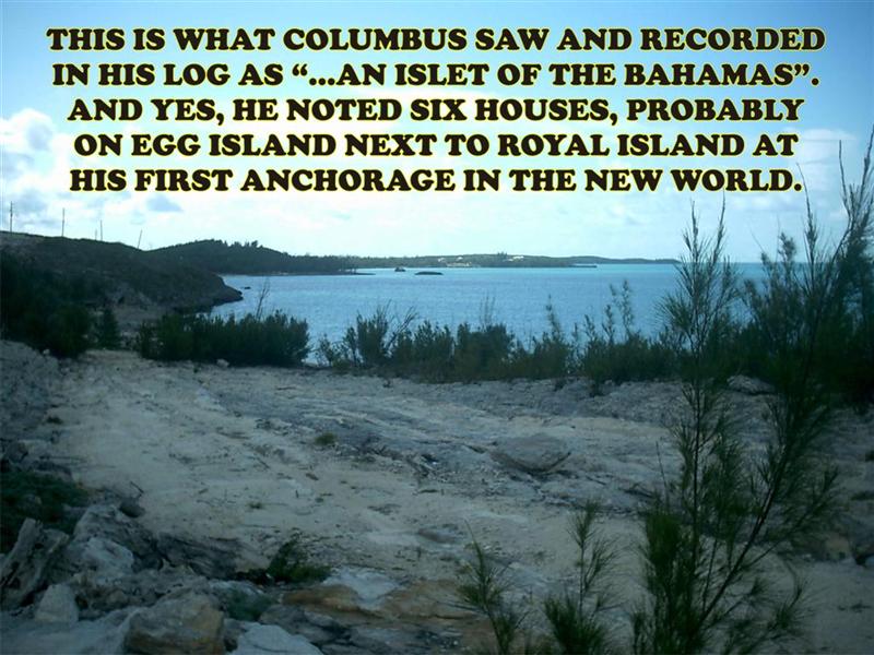
Although controversial, I am convinced Christopher Columbus made first landfall on the islets of North Eleuthera (missing the reef!). Referring to his slightly cryptic log and seeing these places with my own eyes, it could be the only place.
The Good Peoples.
The national elections were happening
during the last eletter, and I promised to reveal the results this time, so
here are my observations:
PLP and Perry Christie are out. Seems the
peoples admire the leadership qualities of FNM’s Hubert Ingraham, who is the
new Prime Minister of The Bahamas (again, after a ten-year PLP majority). The
guy IS an intense leader; if his jaw were set any more firm, he wouldn't talk!
Man, oh man, the Bahamian politicians LOVE to talk . . . and LOUD!!
So I have chatted with the original
participants of 'The Struggle' and young people looking for change and many
community leaders and guys on the street, and in the end it is probably good
that balance in Parliament shifts every election or two just as it is with the
Democraps and Ripublicans. Too long in power and they forget why they are
there.
All in all, accounting for the recent
independence; settling of the economy based on banking & tourism [and away
from drug-running]; huge requirements of infrastructure improvement; remote
sparsely populated islands and crowded, dirty, overdeveloped ones = I see that
the peoples of The Bahamas are doing just fine. It will take a while before things
are GREAT, but many areas are definitely going in the right direction.
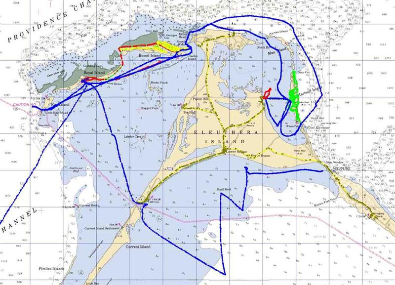
I
am doing something different this eletter to give a visual perspective of the
voyage around North Eleuthera. I have devised a
Map with links to pictures placed exactly where the photos were taken.
Right off, I want to acknowledge that the chart is a bit busy, and the photos are
not of the quality I wish; but my primary camera stopped working. So the next
two eletters will be adorned by shots from the underwater camera. Sorry that
they are not breathtaking, but you’ll get the idea. [I will have a good camera
once again for the photos of the grandbabies on Andros – OH BOY!]
So I have minimized the ‘story’ of this
part, and you can see photos by just clicking
on an arrow on The Map (or a ‘fish’ for the underwater pix, or a ‘caving
helmet’ for pix of Preacher’s Cave). The blue lines are the tracks that Windigo
sailed, the red lines are the tracks that Pedigo traveled, the yellow lines are
cycling on Russel Island and St. George’s Cay (Spanish Wells), the green lines
are cycling on Harbour island, and the brown/yellow lines are cycling on
Eleuthera proper.
The Trip.
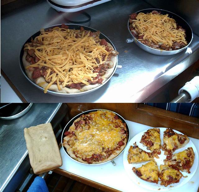
Coming from Rose Island (next to Nassau) we
first stayed in the tiny harbour at Royal Island, which we celebrated
with PIZZA! (Just SE of there is Egg Island, the most likely site of
Columbus’ first anchorage and exploration in the New World.) A very narrow, rocky
entrance leads to a great natural harbour. The island is totally private
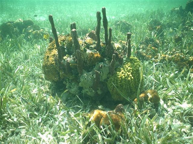
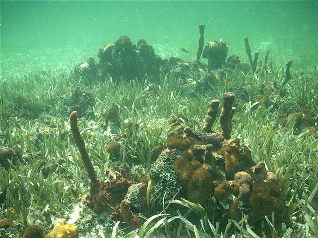
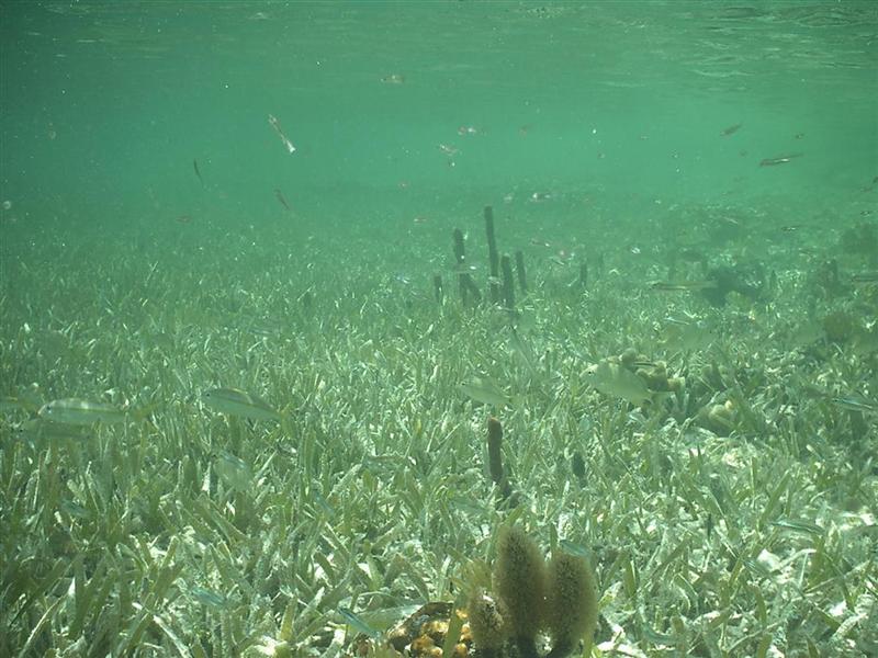
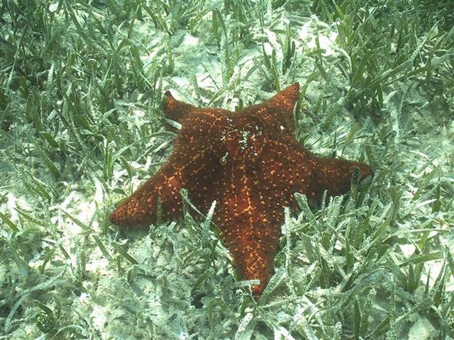
with nothing to see on land so we spent the entire time in the water!
(Underwater photos: 1 2 3 4 5 6
)
We took a 14-mile voyage on Pedigo (that
long red line) during a calm day around Russel Island
and through the “Harbour” [channel]
at Spanish Wells.
![“Harbour” [channel] at Spanish Wells](C-Spanish%20Wells%20%20Harbour.JPG)
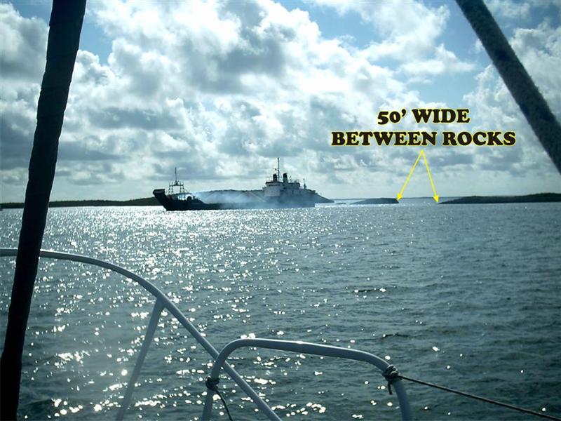
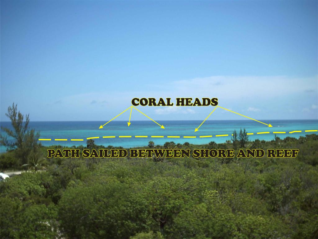
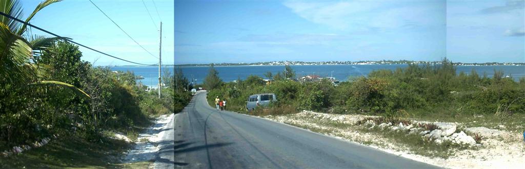
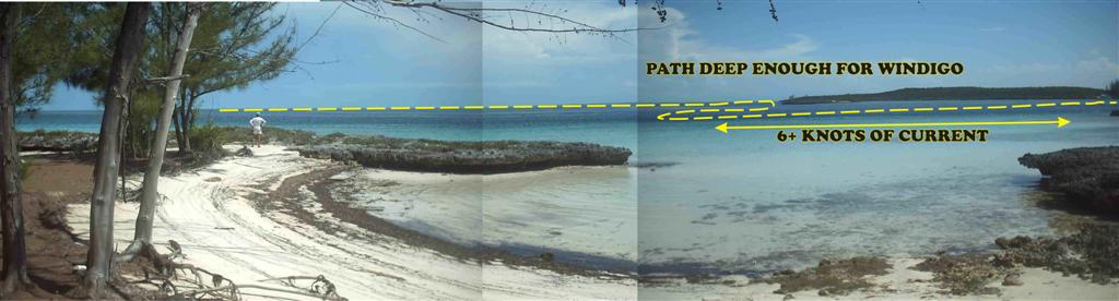
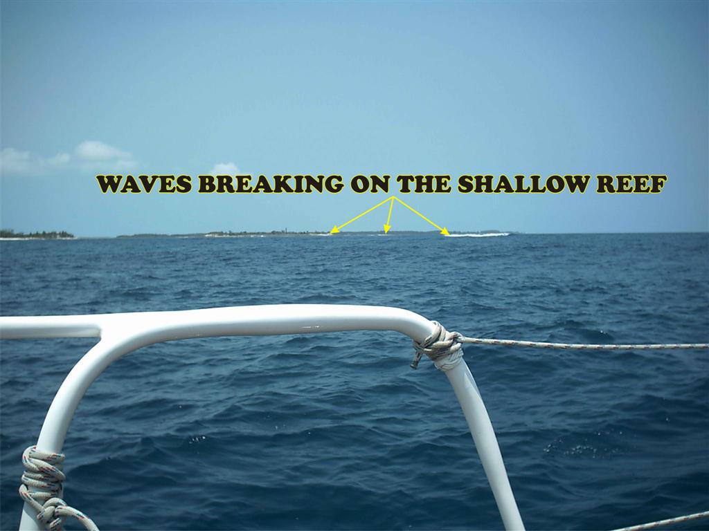
Bringing Windigo to the east end of Spanish Wells we explored the city and did some
repairs, awaiting the perfect weather to transit The Devil’s Backbone. It turns
out that although you wouldn’t want to sail around aimlessly amongst the coral
heads of The Devil’s Backbone, with proper preparation and study, and calm,
sunny weather, the
route is wide and easy to spot. In fact, after being through it both ways
in good conditions, I would transit it in less-than-ideal conditions; but NO
ONE would want to sail through there in unsettled weather!
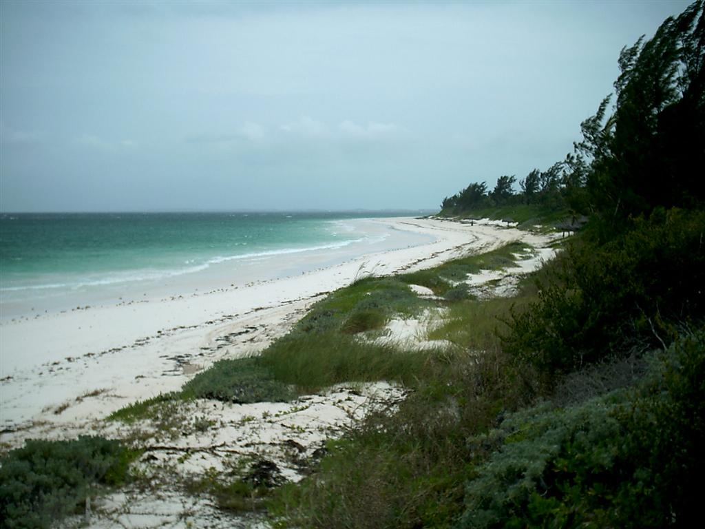
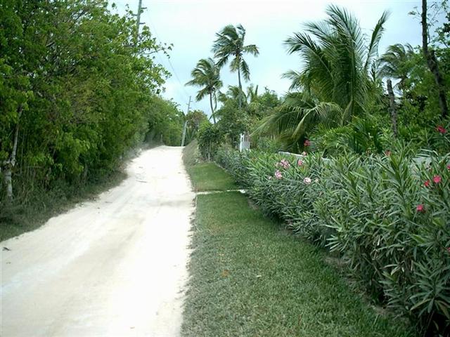
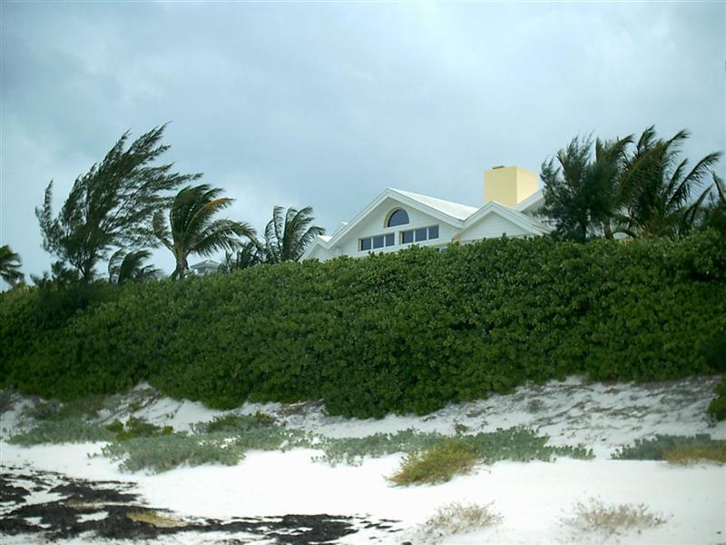
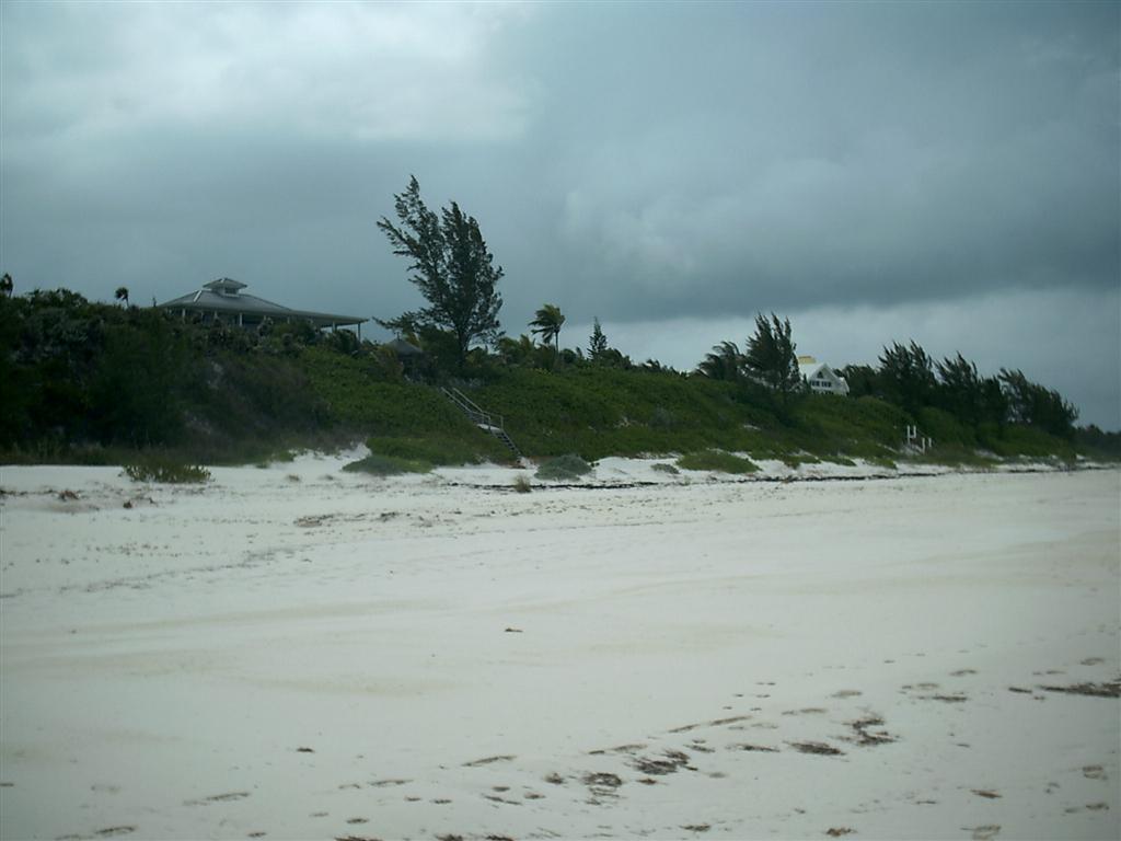
Once to Harbour Island,
we enjoyed the laid-back atmosphere, walking the beach, cycling the back roads and did a
Pedigo/snorkeling trip out to Pear Rock (that other red line). Harbour Island is idyllic, with centuries-old
buildings and brand
new mansions on
the beach. The developments
are severely controlled to keep
from wrecking the island, and even cars are limited = to get a new one on
the island, another must leave! Bimini should be so lucky: [http://www.ciekurzis.org/The%20Bimini%20Islands/The%20Bimini%20Islands.htm].
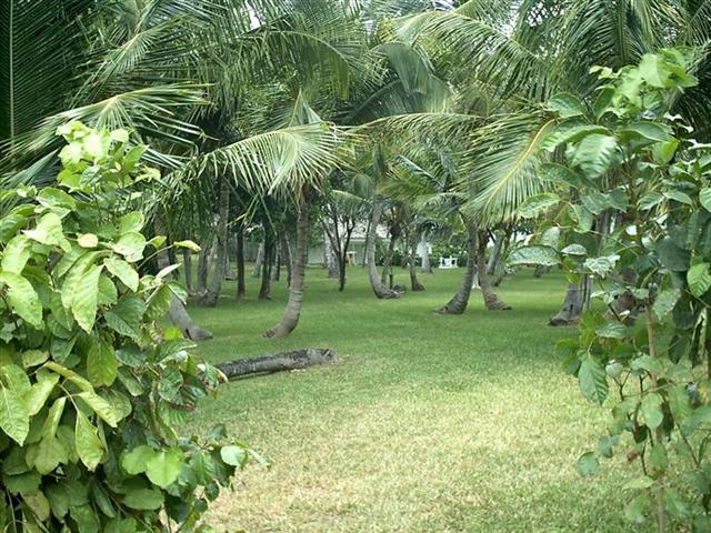
The old and the new on
the island don’t conflict too badly because they are not crowded together, and
there is still
a little room for your retirement home!
.JPG)
We began the exploration of the Island of
Eleuthera from the west
side of the harbour here, and cycled across to see Preacher’s Cave ( 1 2 3 4 5 6 7 ) where Karin & I
renewed our wedding vows on our anniversary. We did it up in the ‘balcony’ and Karin wore her finest Bahamian
clothing from the Androsia factory on Andros.
We also looked at Spanish Wells from across
the way, and even went down to scout Current Cut.
This deep channel next to a town called ‘Current’ lives up to the title by
having a six-knot flow of water through it four times a day. Time it wrong for
a passage and you may not make it! [We timed it just right.]
Upon leaving Harbour Island I decided I
needed another challenge, so I navigated the channel around the south end of
the island. This channel is reported to be only five-feet deep and impassable
for Windigo’s seven-foot draught; but with advanced navigation skills [not to
mention advanced electronics that gave me the track for commercial ships
through the pass AND a huge fishing tournament that placed extra navigation
buoys in the channel] I was able depart through this entrance.
Going this way back to Spanish Wells
afforded us a look at both the islets
from Columbus’ point-of-view and the Devil’s Backbone from
seaward. It is very intimidating from this side, and I thank the original
Eleutheran Adventurers for warning me of its presence.
Still not having enough of the role of the
Adventurer, I opted for sailing around the south side of Charles Island when
departing Spanish Wells. This completely shallow course could only be sailed by
Windigo in the highest of tides and proved to be more of a challenge than the
south route out of Harbour Island or The Devil’s Backbone; probably because we
prepared so completely for those passages and this one was just about timing
and being REAL careful. A short stay at Royal Island again (nice place!),
zipping through Current Cut (at the right time), and some heavy weather sailing
in a fresh breeze put us along the coast at Upper & Lower Bogue and our
final anchorage in the far north of Eleuthera at the Glass Window.
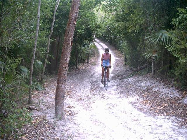
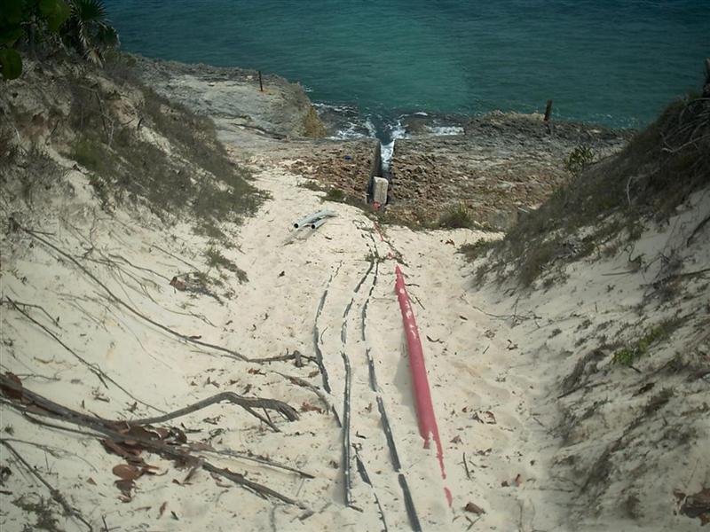
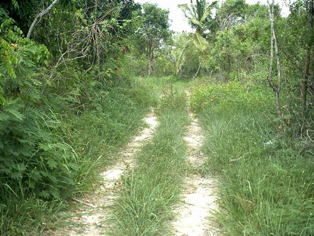
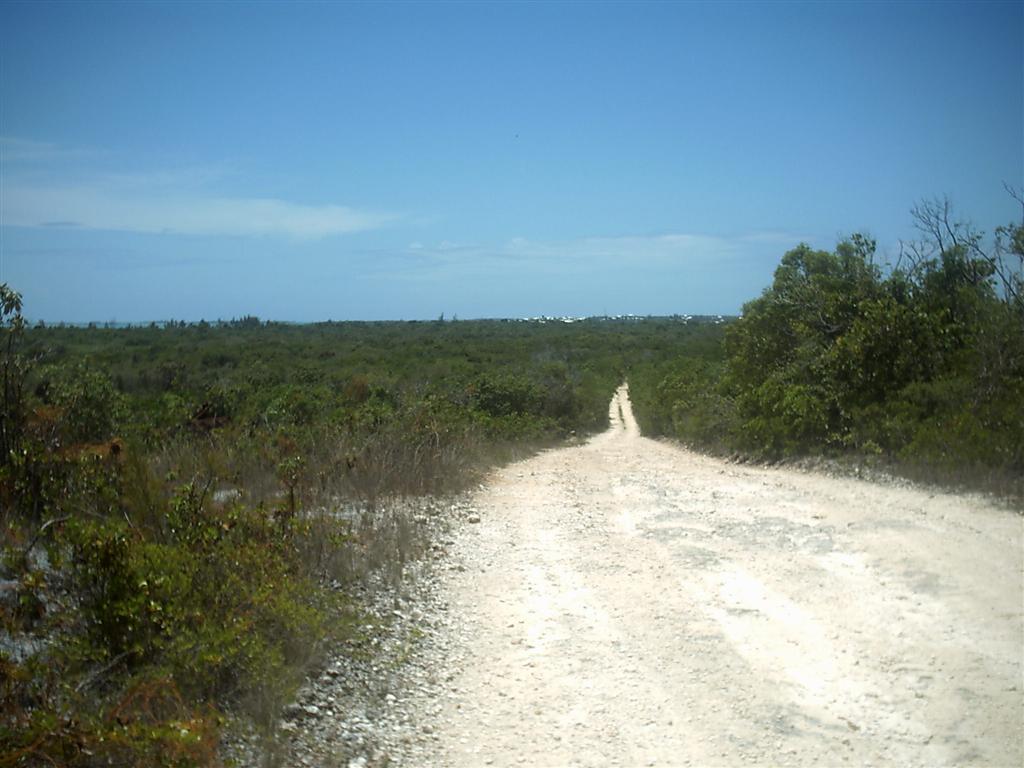
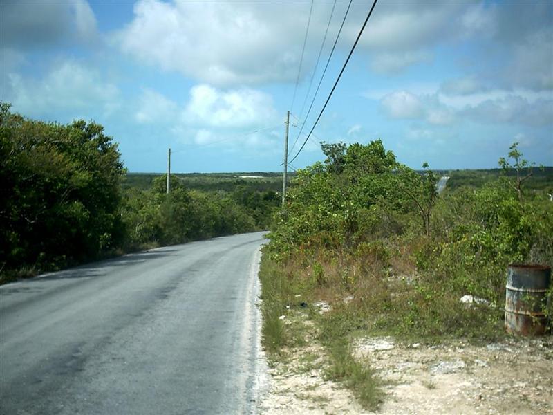
Cycling Notes.
I cycled 100 miles in historic Spanish
Wells and on St. George’s Cay and Russel Island. Although Spanish Wells is
crowded in a European sort of way, Russel Island seems to have a good
development plan and is very nice.
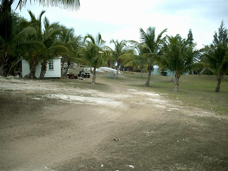
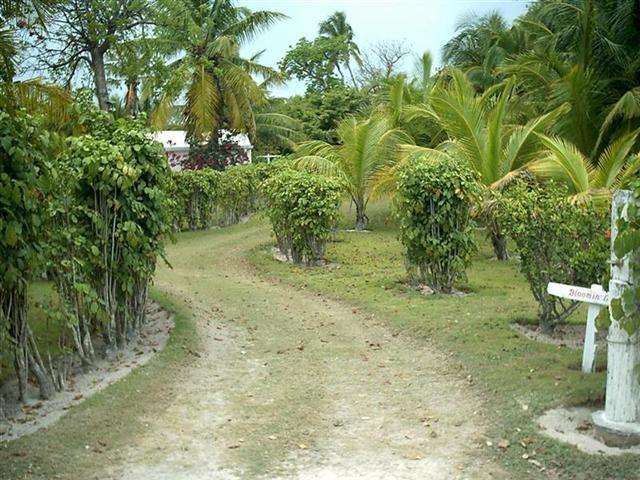
Karin & I cycled and hiked over the
entirety of Harbour Island, even getting invited into one of the mansions in
the development at the south end of the island. Like Spanish Wells, the ancient
town is crammed full of houses, shops, hotels, and life, but the outlying
developments are controlled in good way = the south 135 acres of the island has
only 30 lots, the last of which is being built on right now. That’s it!
Upon cresting the first hill on North Eleuthera
proper, I was struck by how it reminded me of the rolling terrain of
Wisconsin. [The entirety of Eleuthera is that way = up & down hills and
cliffs up to 100 feet high – very unlike The Bahamian cycling I have done
previously. I gave me a very good feeling of nostalgia and a good cycling
workout.]
Cruising Notes. (or The
Devil’s Backbone Is NOT For All Cruisers.)
Every reference to The Devil’s Backbone in
every cruising guide or advertisement I have seen has INSISTED a pilot is
NECESSARY for you first in-shore transit of the reef. Being a contrary sort of
fellow, and trusting navigation skills born in The Great Lakes and honed in The
Gulf of Mexico shallows and The Bahamas so far, I believed I could sail from
Spanish Wells to Harbour Island on my own. So I did. But I did extensive
homework using the charts, Karin & I both practiced reading the color of
the water (crucial for navigation here and in The Caribbean), and utilized all
the sophisticated electronics carried aboard Windigo to augment my individual
skills. Turns out one of the biggest confidence supporter was the commercial
vessel tracks obtained on my AIS system. This system records the path taken by
any commercial ship within 20-25 miles and displays it on the chart of my
navigation computer program.
Even considering the AIS, I would do as the
guide books say and not attempt this passage on your own without the maximum
preparation under your belt. [What if the electronics bite the big one in the
middle of the danger?] The path through The Devil’s Backbone is wide by my
standards, but I am used to sailing around with an impossible draught of seven
feet. I would hate to be wandering about in the area of hundreds of random
shallow reefs in any kind of unsettled weather, braking seas, limited
visibility, or without triple-redundant electronics and manual backup. [Case in
point: just recently, we ‘bumped’ across the top of a coral head in an area of
known scatter heads. We had just carefully transited a densely populated coral
area without incident or great concern and I was complacent for 40 seconds
before reaching deeper water. Luckily the stainless-steel shoe on Windigo’s
keel took a scrape from the coral and we both came away with virtually no
damage. Could have been worst and was certainly avoidable.]
Other notes:
Don’t freak out over the use of the VHF Marine radio band for
shore-based and general communications. This practice has been in place for
decades and will stay that way since cell phones cost 20¢ to 40¢ a minute.
Certain channels are dedicated for certain uses and certain individuals. This
is normal practice around all the outer islands of The Bahamas.
Royal Island offers good depth and great
protection just west of the opening.
We anchored off the east end of Spanish
Wells and were alone there while seven other boats crammed into the mooring
field by Charles Island (which Is not quite deep enough for us). Put your
dinghy anywhere along the wall!
Unsecured wireless internet is in the air
just off Valentine’s Marina on Harbour Island. It is also a good anchorage and
you can get closer than you think to the shore. Nice dinghy beach around the
other side between Valentine’s and the Government Dock.
The south entrance of Harbour Island is not
that big of a deal as long as you know where it is = it is a nice, long, curve.
(Don’t attempt ANY Bahamian entrance with seas running into the harbour.)
The south path around Charles Island is
trickier unless you have a draught of five-feet or less.
Current Cut is all about the timing of the
tide. I would have tried to go straight east into The Bight of Eleuthera, but
the wind was blowing 25+ and clouds obscured water-reading so I took the easier
(but not simple!) path to the south [see Map].
Anchoring by Upper & Lower Bogue is
nuts unless you can get quite close to shore. There is NO sand on top of a
smooth rock seabed out where Windigo had to be. Not much protection there from
anything but wind straight out of the north.
The Glass Window is a great side trip in
the right weather, as is Annie Bight by Gregory Town.
Which brings us to the next eletter: The
Rest Of Eleuthera.
See where Windigo
has been:
http://shiptrak.org/
Enter Windigo's
callsign: W3IGO
Where we are right
now:
Our permanent and
EXACT address:
Capt.KL &
Karin Hughes
S/V WindigoIII •
PMB 365
88005 Overseas
Hwy. #9
Islamorada,
FL 36033-3087
Text-only Email
addresses aboard Windigo, checked daily:
[reliable
communication]
Email addresses
checked when at a land-based computer
(infrequently, but
good for attachments):
And of course, the
Windigo Travelogue Catalogue: