Hi All~
This Eletter with
all the links to amazing never-before-seen photos is at this link:
http://www.ciekurzis.org/We’ve Found Paradise/We’ve Found
Paradise.htm
Either cut &
paste this URL into your address bar or just click on it.
We’ve Found Paradise [Island]
The 750 Bahamian
Islands each has a different character, and New Providence is unique in that is
has SEVERAL characters.
Nassau Is NOT As
Everyone Predicted.
“Nassau is crime-ridden and you cannot leave your boat
unattended.” “Nassau is noisy and dirty.” “Your boat will not be safe in Nassau
because the currents are stronger than you can imagine and there is all smooth
rock at the bottom.” And my favorite, “Nassau is JUST LIKE New York.” I will
address these claims as I voice my opinion below . . .
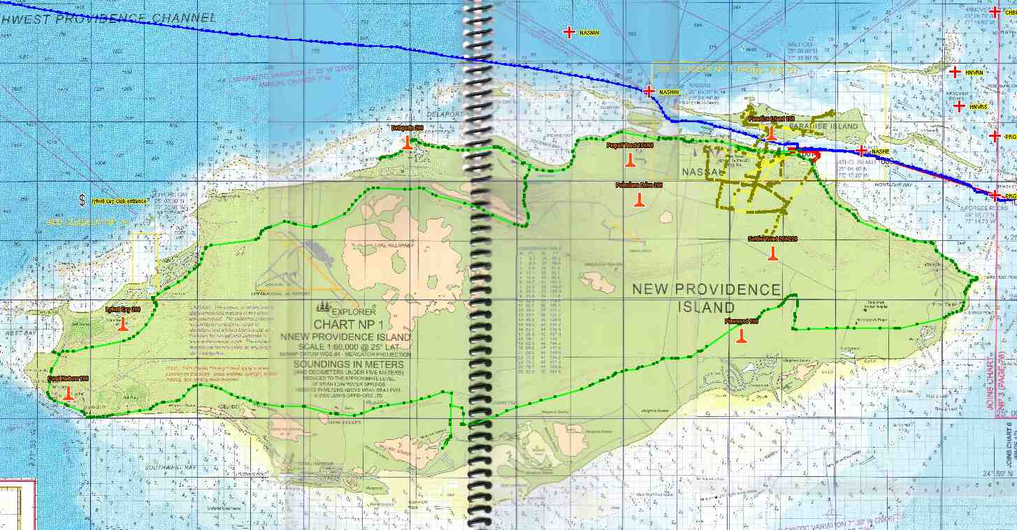
The Character Of The Land.
New Providence is a pretty small island
(21x7 miles), with a population of 200,000. There are too many cars (100,000),
but other than that, it is what you would expect of a place with great weather
all the time, a great natural harbor large enough for cruise ships, attractive
tax and development setup, and close proximity to the US. Add to that a few
billion in improvements over the last several decades ($1 billion into ONE resort alone!)
and you see why parts of it have been cranked into a non-typical Bahamian
island. There is city/tourist noise, but not as loud as the massive
construction of Clearwater [BEEP-BEEP-BEEP] or the continuous hum of the 24/7
shipyards of Tampa or Mobile. One or two sirens a night do not make it sound
like New York.
But there are BEAUTIFUL villas & homes
and gorgeous resorts and large hotels – even one Las
Vegas sized development on Paradise Island – Atlantis. The New Providence casinos closely resemble Biloxi, before
the destruction caused by the surge of Katrina. There is still much undeveloped
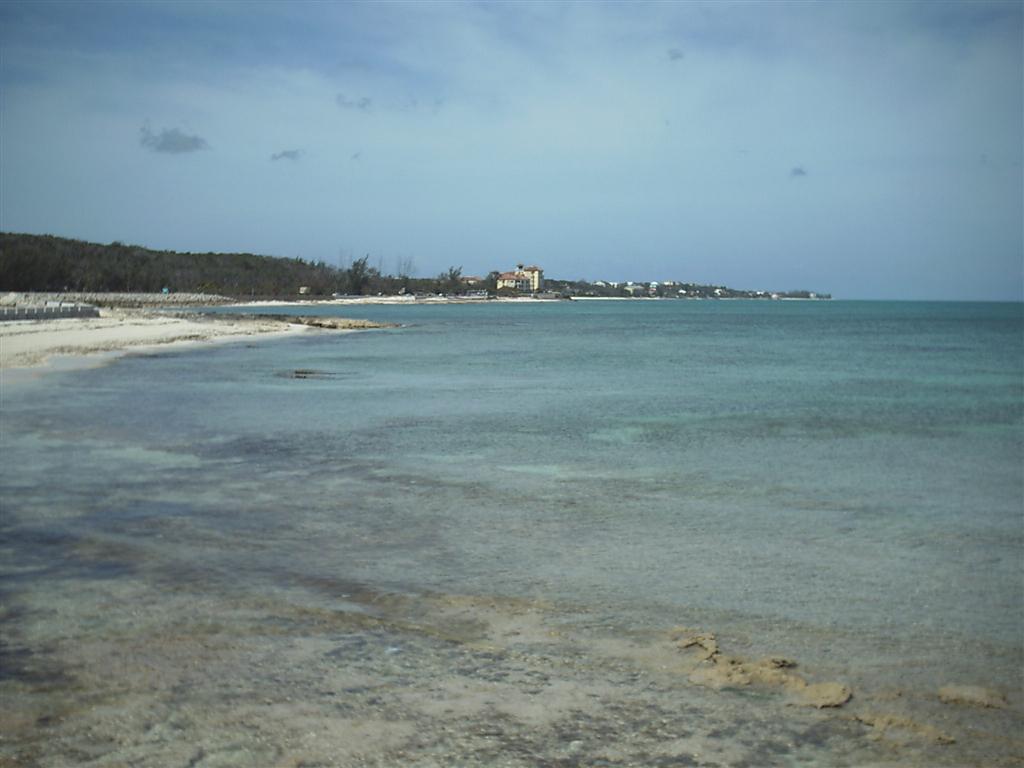
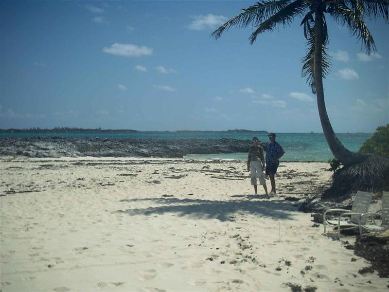
area and public beaches abound.
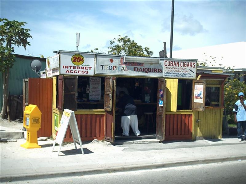
The area around the cruise ship docks are crammed with stores selling
all kinds of crap from everywhere; and crammed with even more tourists from
everywhere. The cruise ship dock is more impressive than either Miami or Tampa
[but not New York], capable of berthing eight of these monsters at a single
dock structure.
The “downtown” area is very congested as NO
planning whatsoever was attempted as the marinas and stores multiplied. Walking
the sometimes interrupted sidewalk along the narrow street feels third-world,
closer to Bimini than New York. It isn’t completely anyone’s fault as the
changes in government administration have been frequent over the last century.
The Bahamas have been an independent country for a little more than thirty
years and they are still figuring things out. [The parliamentary system used
here is slightly better than our stuck-in-a-rut system inasmuch as they do not
directly elect the Prime Minister – the parliamentary seats are elected, and
the party with the most seats in Parliament has their guy in charge
(“appointed” by the Governor General – the Queen’s representative). The Prime
Minister “recommends” the second-in-charge dude(tte). If this system is abused,
the ‘Government’ can abolish the whole thing and revert to general elections
(as in the US). They seem to play well, but have fierce competition when
election time comes- which is RIGHT NOW!]
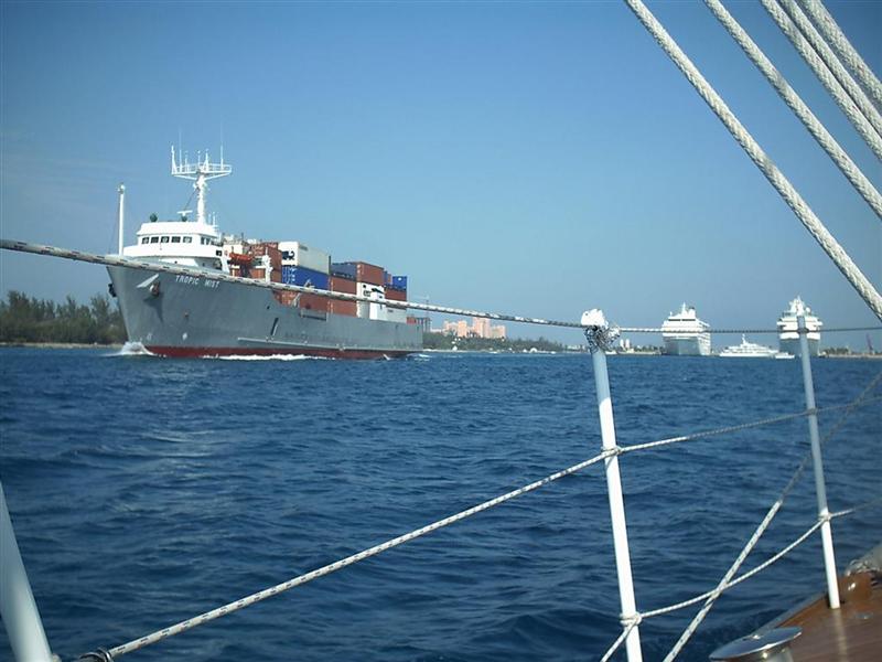
The center of activity is the channel of
water between New Providence Island and the smaller (685 acres) but
more-developed Paradise Island called Nassau Harbour. The western end of the Harbour opens out directly
into the junction of the Northeast Providence Channel and the Tongue of the
Ocean with their mile+ deep waters. The eastern
end spills onto the Exuma Bank. With the whooshing of currents through the
Harbour, on and off the bank, the area stays cleared of the pollution. (There
seems to be more trash carelessly discarded into the water here – even more
than Florida, and that’s BAD!) But the strong currents have NOT scoured ALL the
sand from the bottom, and the anchors hold fine when of proper size and usage.
Occasionally a boat drags, and it invariably is caused by inadequate anchoring
equipment and/or skills [see comments about Morgan’s Bluff in previous
eletter.]
The Harbour resembles Clearwater in many
ways [but not New York]. The high-rise bridges, many marinas & condos along
the shore, and continual traffic consisting of freighters & cargo ships, dolphin-pestering boats, deep-sea
fishing excursions, and glass-bottom booze cruises. Aircraft
traffic is a little greater, but is almost all prop-planes.
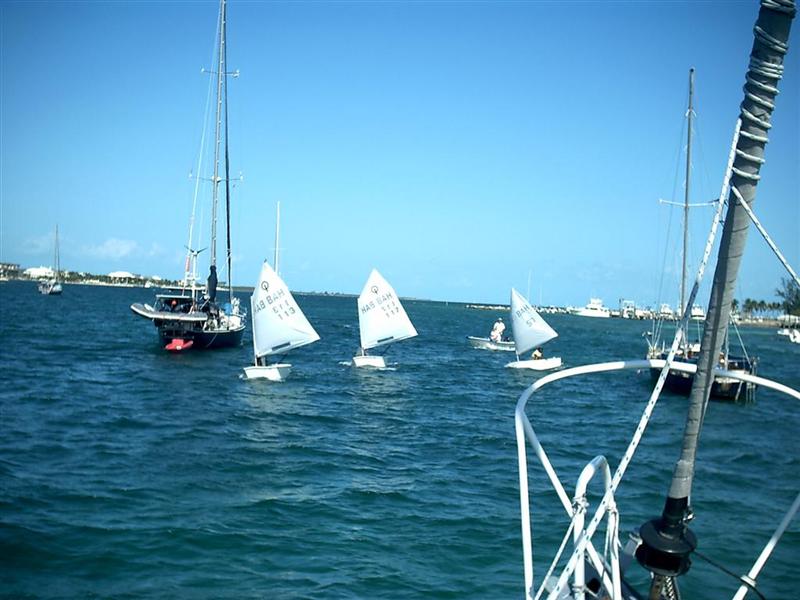
There are some interesting vessels such as
the traditional wooden Bahamian sailboat
with the tremendous boom, and of course the ever-present dinghy-sailing
tykes.
Greeting The Good Peoples.
Every hello you put forth on the street is
returned (compared to 50% on the “friendly” bike trail in Pinellas County);
except it’s not a “hello” but a much more casual and familiar greeting such as,
“Yeah-Yeah”, or “OK”, or the most popular, “Alright”; which I have modified, as
I try to initiate the greeting each time with, “Alright, Now”.
When addressing youths, I sometimes come up
with a “Wassup?”. Older folks generally receive a “G’day, Sir” or “Ma’am”. It
seems some locations (and on some of the other islands as well) even the older
locals feel a need to offer a great deal of respect to me, so much so that it
makes me a little uncomfortable. Every one of their responses might be ended
with a “Sir”; so to counter that, when sensed, I simply begin the
greeting/conversation by suffixing my own sentences with “Sir” or “Ma’am”.
It is simply delightful to engage children
on the islands in conversation – they are fearless and respectful, and I return
the favor by being very candid and honest [and they get a kick out of it if I
address them as “Sir” or Ma’am”]. This is the way things were when I was
growing up, before EVERY stranger was a “potential attacker”. How sad . . .
Wildlife.
Yes, there are tons of casinos,
restaurants, hotels, bars, and Booze Cruises that make up the WILDlife. I
understand the streets of Providence Island can get pretty wild after dark in
any neighborhood. Many, many stores have electric strikes installed on the
front door so you need to ring the bell and be ‘buzzed in’ during store hours.
The wrought iron gates go up after closing. Even with the hustle & bustle
of the largest Bahamian city with its crime problems and unruly growth, the
peoples mostly retain their island friendliness and consideration. Assistance
while shopping (one of the most popular activities here) is second to none.
Other Activities.
No kite-flying here. Only shopping!
Just kidding, but to put it in cruising
perspective, I would not stop here more than once except to reprovision
victuals and supplies. The “one” time would be for the strictly tourist sights such
as Atlantis and to feel the lay of the land. Our future stops here will be
brief and to the point.
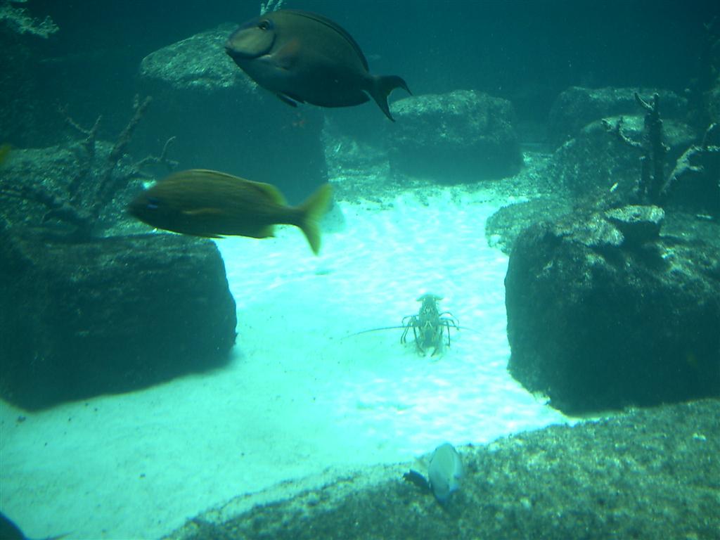
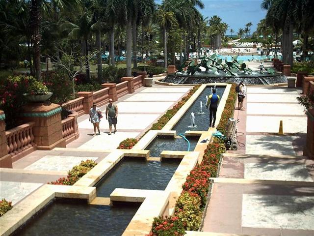
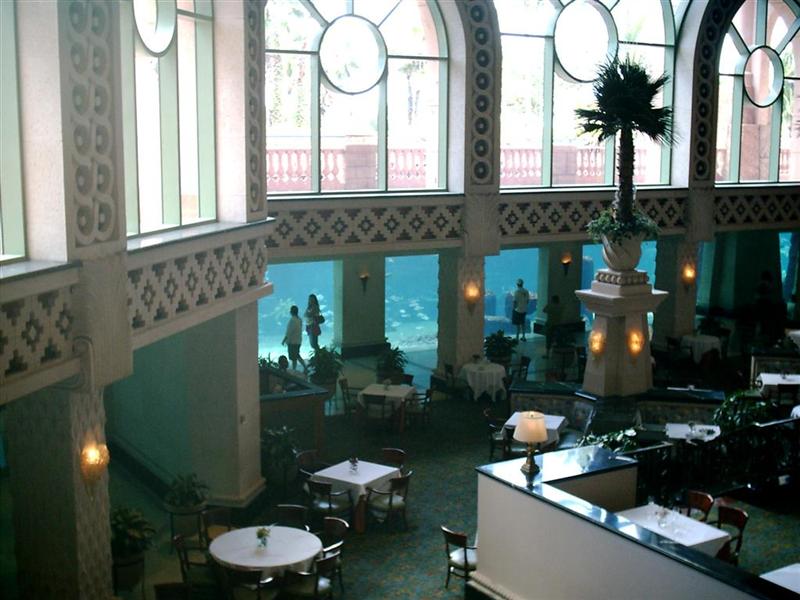
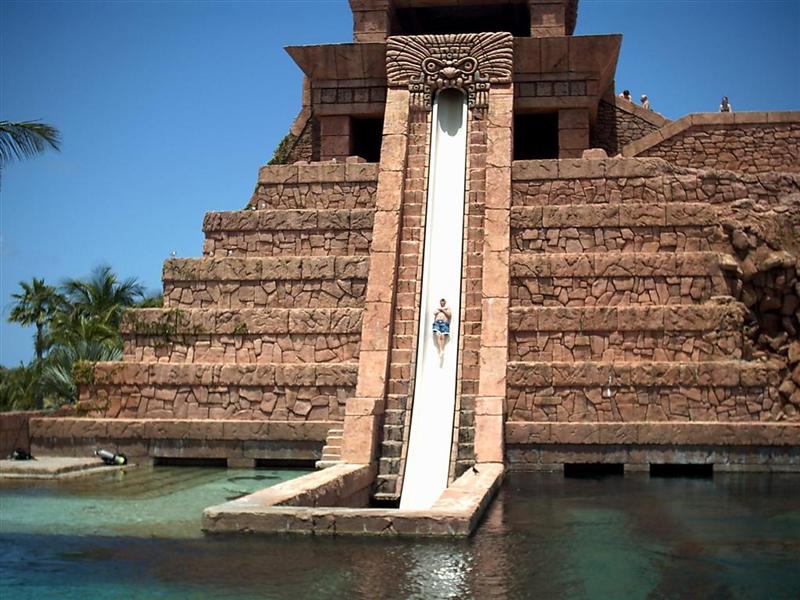
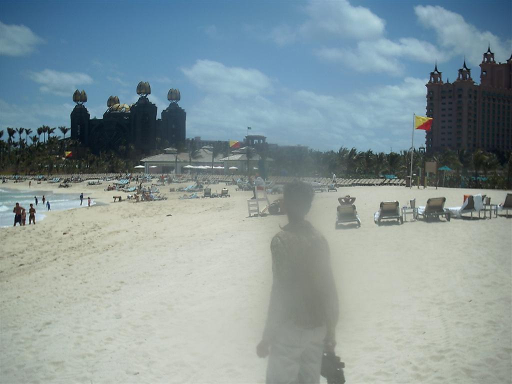
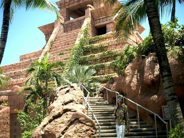
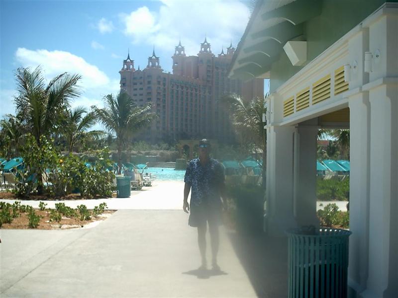
That being said, Atlantis is impressive
even if you have seen all the casinos in Vegas. It is HUGE, has consummate
service and accommodations, and is unique
in its setting. Maybe the French Riviera or Monaco or Australia has
something similar, but I doubt it. The guests enjoy a fantastic waterpark (and
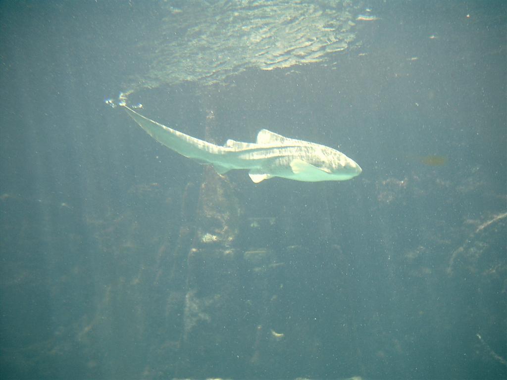
I come from the land of the World’s Largest Waterpark = Noah’s Ark!) and the
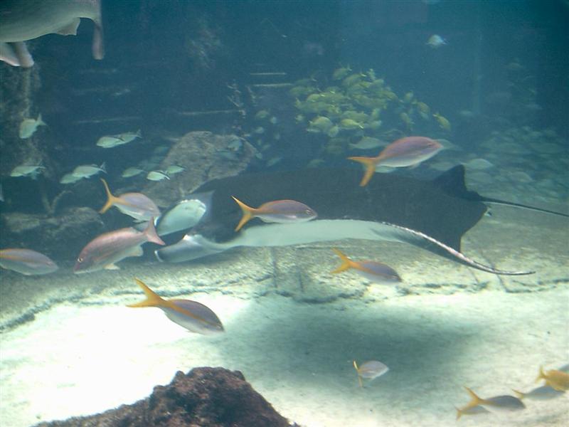
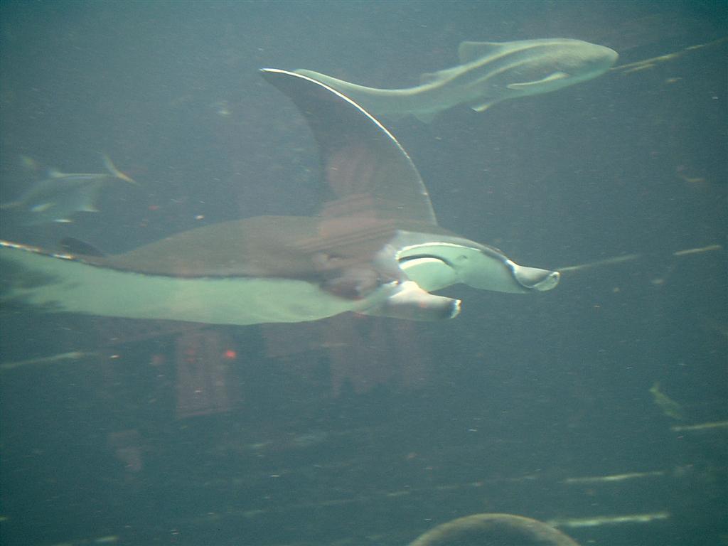
main attraction is the Marine Preserve, which is sometimes referred to as an ‘aquarium’. With several pools viewable
from above or below and 300,000 creatures
it is hardly a “fish tank”. It is laid out so the
general public can walk in a see some fish,
diners in three restaurants watch fish, and one of the waterslides plunges through
a clear tube under a shark pond. That might be
worth the price of a room! [The shark pool reminded me of the one in Thunderball
when James Bond swam with the sharks.]
Atlantis has private shore-side cottages,
Vegas-style towers, and restaurants everywhere. There is a mile of private
beach that will be expanded when the third tower [under construction] opens.
[Note to curious common-folk that wish to
see more of Atlantis than even the $30 non-guest wrist band will allow = we
entered the compound away from the main building early in the day before most
guests are up wearing long-sleeved shirts to hide our “wristbands”. We headed directly for the beach (very restricted area) and worked our way back
through all the lesser security areas until
we finally saw the public areas that we could easily leave from. Saw everything there and all it cost
us was the $2.05 we gambled away on Reel ’Em In while enjoying free drinks in
the casino.]
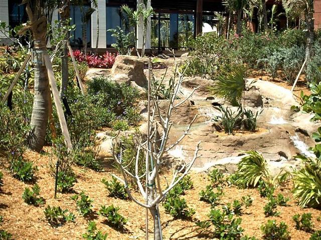
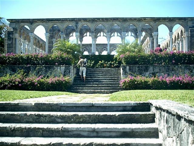
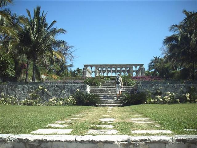
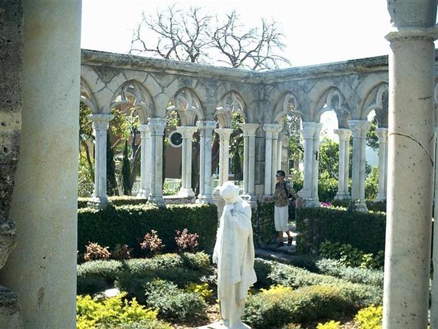
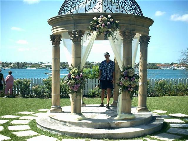
The other must-see place on Paradise Island
Karin had spotted from Windigo. It is called Versailles
Garden near The Cloister. This is NOT a ‘fake’ tourist attraction, but a
real 14th-century ached walkway
from France; built by monks, no less! Some guy had it shipped here and
reconstructed on Paradise Island; Very impressive
movie background [Thunderball again] or wedding
site.
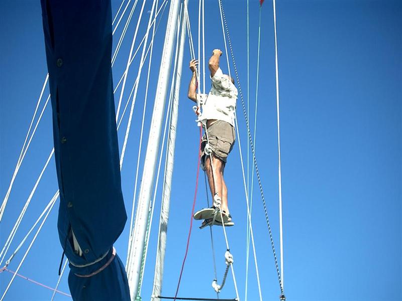
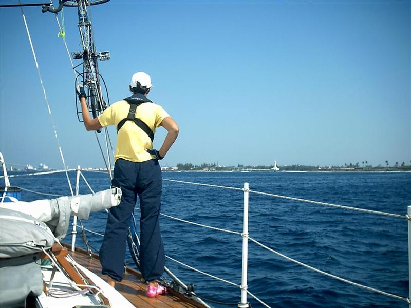
We did accomplish a couple projects while
in Nassau Harbor, the main one prepared us for the tricky navigation required
during the rest of the year. Having a seven-foot draft, Windigo requires extra
care sailing in The Bahamas and every navigational aid is necessary. Reading
the water is imperative when sailing the not-so-well charted and ever-changing
Bahamian Banks and for every foot gained in height above the water, twenty feet
of readable water distance is gained. I rigged a series
of ratlines on the starboard mast shrouds to form a kind of ladder, which
can easily be climbed to the spreaders at the middle of the mast. This extra
height will allow crew to intelligently inform the helmsman as to the nature of
the seabed a dozen boat lengths ahead. [This will become essential when we
attempt passage at the Devil’s Backbone in a couple weeks.]
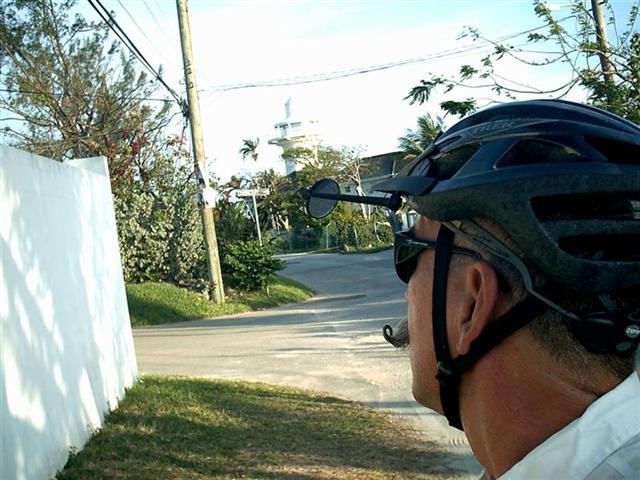
Cycling Notes.
The
“Nassau/New Providence/Paradise Island Century” included an informative ride
along the entire coast of New Providence Island. Starting downtown heading
east a steady climb let me know that this island is not as flat as the others
I’ve cycled in The Bahamas. Passing a three-mile string of bumper-to-bumper
cars taking their owners to work at less than 5MPH let me know that this island
has perhaps a higher density of vehicles than Bimini. [Three miles of
bumper-to-bumper cars = 1000 cars.] Even though these folks live about five
miles from work, their morning commute is an hour. I passed the line of vehicles
in 10 minutes going uphill in a fairly traffic-free lane.
If they abolished car traffic in this area,
the oldest commuter on the crappiest bike would cut travel time in half.
“Progress” has such a strange cost.
The prevailing speed limit on the island is
30MPH, and in areas of congestion I was able to easily out-pace traffic. The
streets are narrow in these areas, but the main road surface is good [curbs are
horrible here] so I felt a lot like riding in downtown Chicago [which I enjoy].
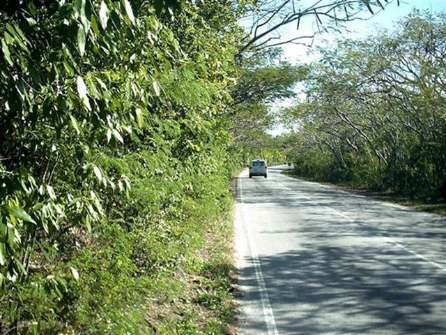
As I traveled out of town to the less dense areas, the road conditions improved
greatly. A wide, delineated shoulder
provided safer traveling than most of Florida. Traffic is curiously polite and
lone drivers approaching a cyclist on a remote road give a distant ‘toot’ to
increase awareness.
As I swung south around the east end of the island there were
hundreds of villas- attractive small homes packed on the shore and off- with
walled lots, lots of flowers and beautiful shrubbery and trees. These tiny
estates were all named= “Shoreside Bliss”, “Endeavors End”, “Harmony”, and one
was “Falling Coconuts!”.
Around the Eastern Point and McPherson’s Bend the density of homes
decreased, their size increased, and finally gave way to several mansions. A
few resorts are tucked along the southern shore overlooking
the vast Exuma Bank. There is a Bahamian Defense Force base here, a Bacardi
plant, and several gated communities.
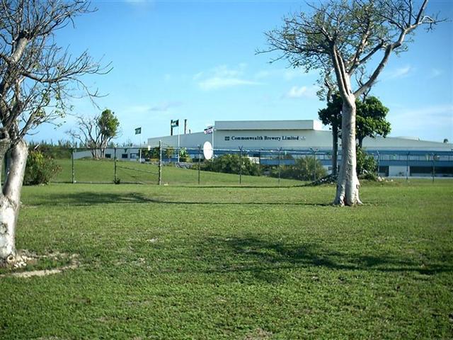
As I approached the western end of the
island I came across the Clifton Pier, an immense industrial dock area. Several
gasoline and propane tankers were docked and moored here along with the main
island electrical plant. Just past the industrial complex is the Commonwealth Brewery that produces both Kalik (the beer
of The Bahamas) and Heineken.
As I rode up Clifton
Bluff, building density increased slightly, but the quality was staggering.
This was the ‘ritzy’ end of the island.
The expensive private communities culminate at Lyford Cay Club. I found the Lyford Cay Hospital and the sign the
notes this is the one place in The Bahamas that distressed divers can find a
hyperbaric chamber.
Rounding that end of the island brings one
to the International Airport. Although considerably
larger and much busier than the other islands’ “International Airport”, the
commercial flights are mostly prop planes making the hop from the US.
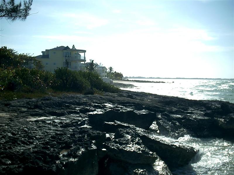
The beach
along the north coast on the west end of New Providence is dotted with resorts, hotels, gated communities, and such.
Around the middle of the island I ran across Cable Beach,
a destination resort area I mentioned earlier that resembles the casinos
that were at Biloxi. The businesses and stores next
to the hotels are geared for tourism = cheesy!
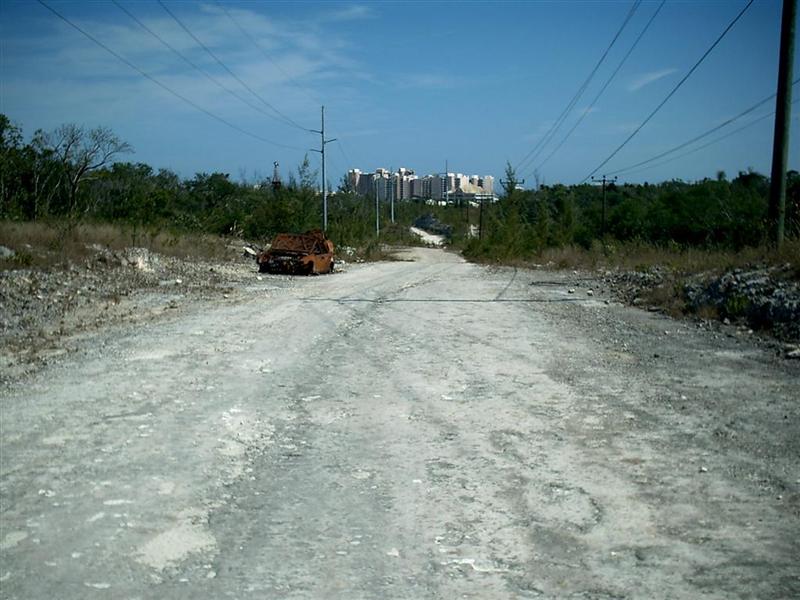
A “back roads”
shortcut [no traffic, rural Andros-type aragonite trail] brought me back to
the congested downtown area, with the cruise ship docks, bridges to Paradise
Island, industrial Potters Cay, narrow streets, marinas, and too many vehicles.
The ride left me with a staggering feeling
of segregation on the island [no, not color = that does not matter here at
all!]; the cruising sailors [most without bikes] only see the marinas and
expensive grocery stores (the stores away from downtown are less expensive!);
the common touring package traveler sees only Cable Beach; the rich &
famous go to Atlantis; other wealthy visitors live entirely in the Lyford Cay
Club ‘compound’; and so on. Most of the native peoples live in dense
neighborhoods, some gritty, some suburbanite; and they see that and their route
to work.
The lack of transportation would leave an
incomplete impression of this, and ANY Bahamian island. I had the revelation of
why too many cruisers have told me they don’t really enjoy the Bahamas – they
were stuck on their boat or at near-shore facilities. Cabs and jitneys [buses]
will take them to limited destinations, but most do not take in an island in
its entirety.
Cruising Notes.
GET A BIKE!
Sorry; Now that I got that off my chest,
here’s a little local knowledge for you:
When visiting Nassau Harbour for the first
time, use the main west entrance.
It is easy and you get quite a tour on the way in.
BUT WAIT: call Nassau Harbour Control on
VHF channel 16 before going through the buoys. In fact, call them some distance
before the buoys. [They will have you switch-and-answer on channel 09; spell
your vessel’s name, tell them your Documentation number, your last
port-of-call, and your intended destination.] This place is busy, and they will
let you know about ships heading your way! You must also call them every
time before you move about in the Harbour (just as in an American VTS).
The anchorages are before Potters Cay (the island under the big
bridges) or after Potters Cay and the string
of marinas [west & east anchorages respectively]. Don’t park too
close to the Nassau Harbor Club on the west end of the east anchorage or you
will immediately be yelled at by a heavily accented man on the dock! These
anchorages are on the south side of the Harbour. There is a spot to anchor on
the north side of the Harbour even with the east anchorage, but local booze
cruise and other vessels travel there and will pass you VERY closely to let you
know that this is THEIR space.
There are a few places to dinghy dock, but
the Dockmaster at the Nassau Yacht Haven is most amiable. It is an alongside dock
and a little tricky at low tide, but it’s free with an adjacent laundry and
free water for jerry cans. The restaurant upstairs is convenient- no less, no
more. [A better affordable dining experience is at the Double Dragon, across
Bay Street about Ľ–mile west.]
The affordable grocery store is about
˝-mile south on Mackey Street – the street lined up with the easternmost
bridge. The trip to this store (Super Value) is within walking distance, but
much easier with a bike ;-] .
Further up Mackey are a multitude of other
shops and stores on Rosetta and Madeira. The cruisers without bikes can go to
the pricier Harbour Bay Shopping Center right on Bay Street!
There are several good sources for marine
parts and supplies right on Bay Street near the marinas. These well-stocked
stores are surprisingly competitive. If you haven’t purchased your Explorer
Charts yet, they are available at Bahama Divers in the Nassau Yacht Have
complex. [Explorer Charts are the most accurate and complete; they contain
cruising notes that surpass even the best cruising guides. Their use is
necessary if you sail in The Bahamas for more than a month and will pay for
themselves by reducing anxiety and making you look like an awesome navigator!]
From Nassau we are recovering by poking around
some uninhabited, isolated, deserted islands;
but when we return to the Windigo Travelogue Catalogue, we will tell the tale
of the DEVIL’S BACKBONE – don’t miss it!
See where Windigo
has been:
http://shiptrak.org/
Enter Windigo's
callsign: W3IGO
Where we are right
now:
Our permanent and
EXACT address:
Capt.KL &
Karin Hughes
S/V WindigoIII •
PMB 365
88005 Overseas
Hwy. #9
Islamorada,
FL 36033-3087
Text-only Email
addresses aboard Windigo, checked daily:
[reliable
communication]
Email addresses
checked when at a land-based computer
(infrequently, but
good for attachments):
And of course, the
Windigo Travelogue Catalogue: